by Salvina Pizzuoli
Ansedonia, Argentario, Cosa, Feniglia, Orbetello: names of locations in the Tuscan Maremma tied to a geography that has made them unique, not only for the landscape beauty that still makes them a sought-after tourist destination but also for the history of the peoples who settled and succeeded one another there, leaving extensive traces of themselves in prestigious remains.
Promontories by the sea, natural bays, lagoons, sandbars—all are geographical features that have always been strategically important.
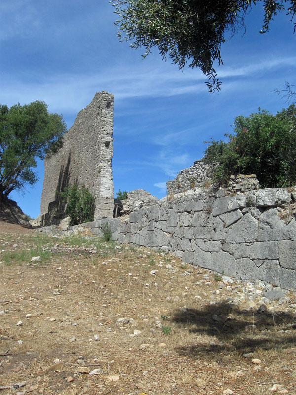
We are in Cosa, the ancient Cusi or Cusia, a Roman colony.
It is situated at 28° 57′ longitude and 42° 25′ latitude on a hill just 300 “braccia” above the level of the Mediterranean, between the ancient Via Aurelia and the seashore, with Lake Burano to the east and the Orbetello lagoon with the Argentario promontory to the west.
Thus, with great precision, it is located by Repetti in his “Dictionary” published in the first half of the 19th century.
The colony was established for a specific military purpose: to safeguard and control the territories recently conquered from the Etruscans by defeating the city-states of Volsinii and Vulci (280 BCE). The colony was founded in 273 BCE. Additionally, the Tyrrhenian Sea had become a contested area between the Carthaginians and Romans, who would fight a few years later in the First Punic War (264 BCE).
What better position, then, to choose than the rocky promontory that towered above the sea, allowing domination of both the open sea and the coast below, where it was also possible to establish a port?
